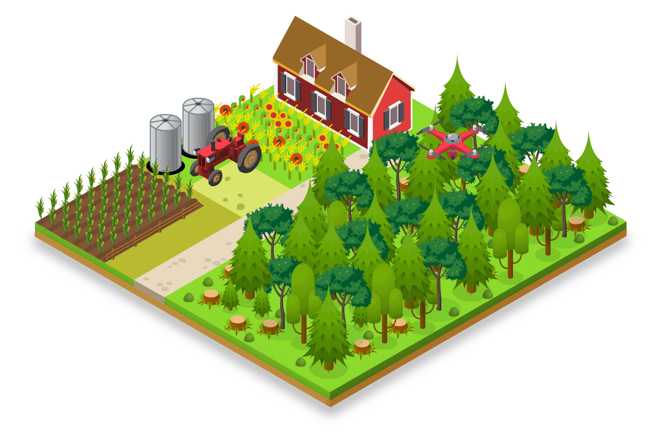
Improving management and monitoring procedures for state-owned agricultural land at national and municipal level
We needed a workflow-driven geographic information system that integrates all relevant data from external systems and data providers into a single environment.
„The experiences of existing users are very positive, work through GIS has greatly accelerated and facilitated the entire process, primarily in terms of identifying state-owned land parcels and real conditions on the ground, reducing administrative procedures, speeding up all procedures related to correspondence between employees and local governments.”
Impact
78%
of municipalities reported a reduction in time required to create Annual Programs.
33,000 ha
of forest areas discovered by DAL in their state-owned dataset.
86%
of municipalities reported that the new IT system led to a significant reduction in paperwork.

PROVEN SUCCESS IN FOOD & AGRICULTURE
Driving efficiencies at DAL with smart applications.

100%
of municipalities completed creation of Annual Programs using the new system
7,000
average daily transactions handled
83%
of municipalities rate the impact of the system highly in the area of analysis of the use of agricultural land


